01 / CURBS
Top of curb,
as one line.
The curb face is read from the laser and the edge from the photo, then traced as a continuous polyline through intersections and returns.
Curb lines follow the road through every corner and bulb-out, ready to be offset or joined in CAD.
- Drawn as
- Polyline
- Layer
SP-E-RDS-CUF · KERB- Read from
- LiDAR + orthophoto
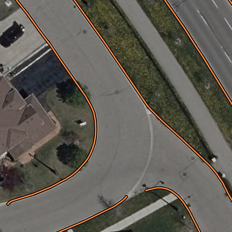 Brampton, Ontario · curb layer
02 / SIDEWALKS
Both edges
of the walk.
Sidewalk edges are traced as joined polylines, carried across driveway crossings and around corners.
Each edge is its own line, so the walk keeps its width in the drawing.
- Drawn as
- Polyline
- Layer
SP-E-MSC-SW · WALK- Read from
- LiDAR + orthophoto
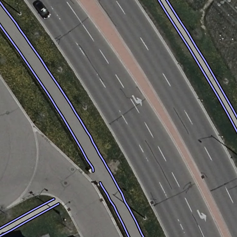 Brampton, Ontario · sidewalk layer
03 / PAVEMENT MARKINGS
Every marking,
typed.
Solid and broken white lines, yellow centrelines, crosswalks, stop bars and arrows — each drawn and coded by type.
Markings land on the pavement-striping layer with their type carried in the feature table.
- Drawn as
- Polyline
- Layer
SP-E-RDS-PS · LINE_SOLID · LINE_BROKEN · MARKING_AREA- Read from
- Orthophoto, with the laser for the edges
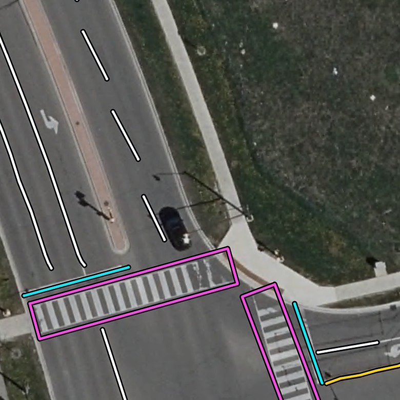 Brampton, Ontario · markings layer
04 / POLES
Poles,
from the laser.
Utility poles and light standards stand out of the point cloud. Each is placed as a coded point at its base.
Utility poles and street lights along the road, in open ground or under the trees.
- Drawn as
- Point
- Layer
SP-E-UTL-LS · POST- Read from
- LiDAR, with the photo
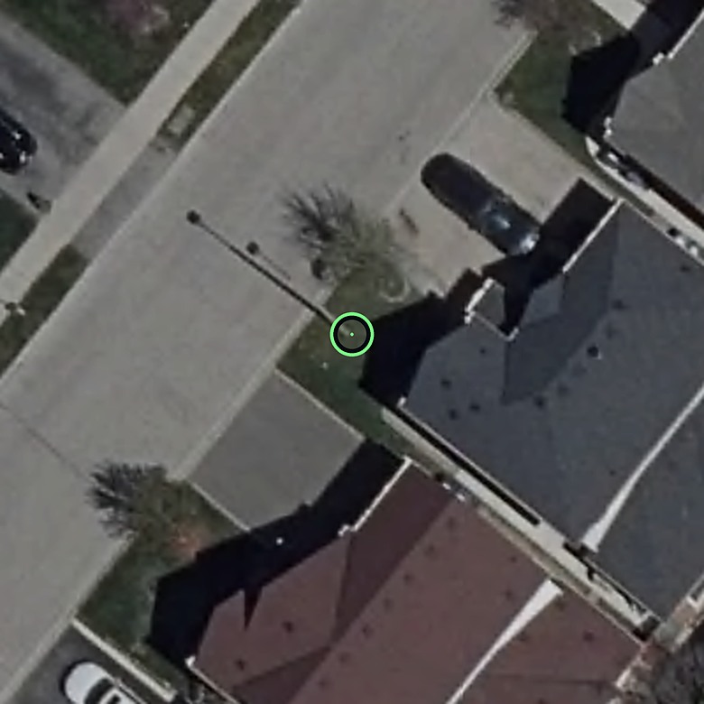 Brampton, Ontario · pole
05 / COVERS
Manholes and
catch basins.
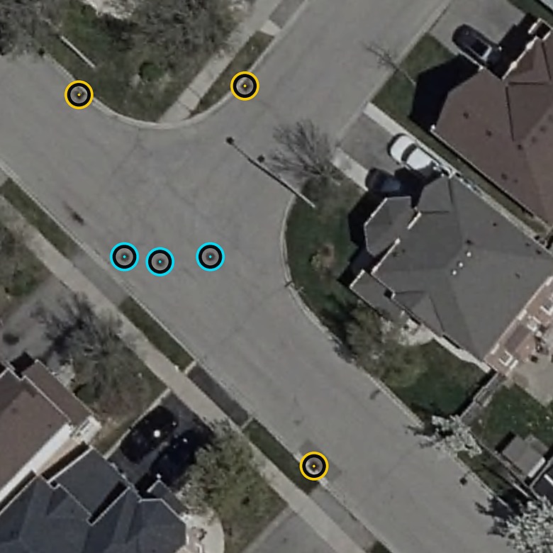
Flush covers are found in the orthophoto and placed as coded points, manhole or catch basin.
Each cover is named manhole or catch basin, and a catch basin is told apart by where it sits against the curb.
- Drawn as
- Point
- Layer
SP-E-UTL-MHSA · SP-E-DRN-CB · COVER- Read from
- Orthophoto, with the laser
 Brampton, Ontario · catch basin · manhole
 CLOUDAR


