Laser and camera, same ground.
An M350 flies the site with the Zenmuse L2 and P1. The point cloud and the orthophoto are registered to your survey control.
 CLOUDAR
HYBRID AI FOR SURVEYING
Curbs, sidewalks, markings, poles and covers — extracted from LiDAR and orthophotos into coded CAD.

Both inputs reach one model to identify named features.
FILES IN. DRAWING OUT.
A LAS point cloud and a GeoTIFF orthophoto go in. A coded DXF comes out, in the survey’s coordinates.


SP-E-RDS-CUFCurbSP-E-MSC-SWSidewalkSP-E-RDS-PSPavement markingsSP-E-UTL-LSPolesSP-E-UTL-MHSA · SP-E-DRN-CBCoversFIVE FEATURES

Top of curb as one continuous polyline.
See the feature
Both edges, joined through driveways and corners.
See the feature
Lines, centrelines, crosswalks, stop bars and arrows, each typed.
See the feature
Utility poles and light standards, placed at the base.
See the feature
Manholes and catch basins, each named.
See the featureTHE WORKFLOW
An M350 flies the site with the Zenmuse L2 and P1. The point cloud and the orthophoto are registered to your survey control.
Height and shape from the laser, paint and covers from the photo. Each feature is read from the sensor that shows it.
Every feature carries its confidence. Cloudar reports what is confirmed, moved, missing and new.
A DXF on your layer standard, a feature table and a job report. It runs on a desktop in your office.
THE INPUTS
The orthophoto carries paint, edges and covers. The point cloud carries height, shape and structure.

Paint, edges and surface detail.
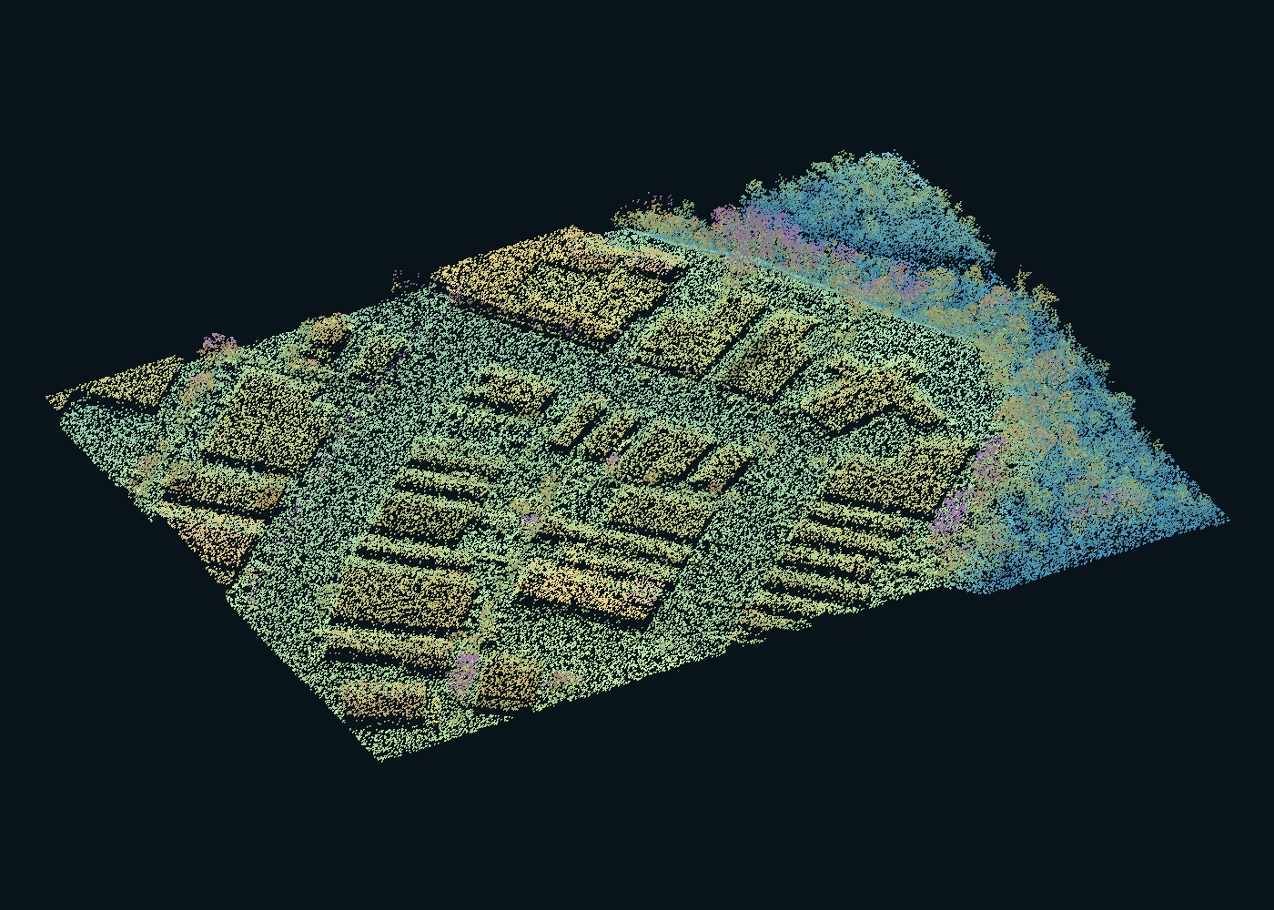 Point cloud · height
Height, shape and structure.
NRCan / TRCA · CanElevation · Open Government Licence – Canada
THE TEAM
Faraj and Ali Abidi founded Cloudar to take the manual tracing and coding out of survey drawings.
Meet the team